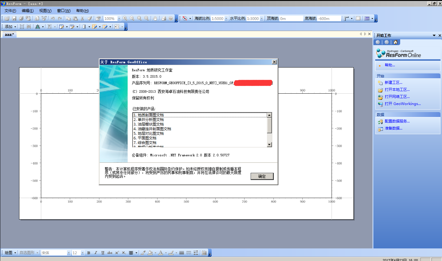
ResForm GeoOffice 3.2完美版 3.5完美版


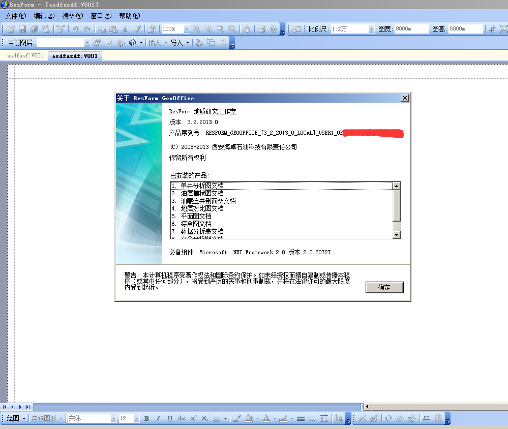
ResForm是海卓公司历经5年,在Microsoft Visual Studio.NET技术上开发的创新之作,它面向任务的系统构架和开发模式,特别适合中国勘探开发研究的实际情况和工作特点;与国内外其它专业软件相比,基于ResForm构架的应用软件可谓独具一格,能够快速高质量地完成油田特定的研究工作任务,是油田软件用户的真正需求与当前最新计算机软件技术的完美结合。
【地质研究工作室】(简称:GeoOffice)是基于ResForm构架的、通用性非常强的桌面工具软件,用于实现日常地质分析、研究与绘图等工作。GeoOffice不仅能能够实现单井图、地层对比图、剖面图、平面图等各种常用图件的编绘工作,而且还能根据地层对比成果生成油气藏剖面图、油层栅状图、属性等值线图和对比数据表等;另外,还能实现各类图表的任意组合和拼接。
二、 各模块特点介绍
ResForm GeoOffice有以下特点:
1. 实现了网络工区和本地工区,具备多站点数据源支持以及与现有专业数据库连接的能力:
     ♦工区管理、批量加载数据,极大地提高了工作效率;
     ♦ 全新设计的用户界面,Office操作风格,使用更加简单方便;
     ♦ 丰富的编辑能力,保障成果图件非常精美;
     ♦ 贯穿地质研究的全过程,符合实际研究工作习惯。
2. 多站点网络和本地数据源支持
能配置多个数据服务,支持多站点网络数据服务、多个本地数据服务。通过数据服务能够实现与现有勘探开发数据库的连接,支持不同类型的数据库系统,如:SQL-Server、Oracle、Access等。
3. 按油田、区块和井组织进行数据准备
按油田、区块和井组织进行数据准备,实现钻井、录井、取芯、测井、试油、分析化验、地层、分层等各类数据的批量加载和导入,可不断地补充新的资料。
提供测井数据的多种加载方法,还可扩展加载方法。如:Txt文件、Excel文件、不同格式的716文件、Las文件、Forward文件、Wis文件、List文件等加载方法。
4. 单井分析图
“单井图”文档部件完善和新增多项功能,不仅新增多达20种图道类型,而且还提供了丰富的充填颜色,这些众多功能的灵活运用能够非常方便地编制各类常用的单井图件,例如:地层综合柱状图、录井图、岩芯综合图、四性关系图、沉积储层评价图、油气水解释成果图、典型曲线图等等。
在GeoOffice中将单井图分为“绘图模式”和“解释模式”,非常符合地质研究工作习惯。此外,还提供宏(脚本语言)智能化编辑器和执行环境,满足用户更高层次的需要。
5. 剖面图
在GeoOffice中将“剖面图”分为“地层对比”和“油藏剖面图”两种独立的工作方式,非常符合地质研究工作习惯。

“地层对比”工作方式:专心研究所有井之间的对比连接关系,并形成各种对比成果。另外,在对比过程中,可切换进入单井解释,使单井分析解释、多井地层对比成为有机的统一体。
“油藏剖面图”工作方式:提供更加丰富的交互编辑能力,可保障快速编绘出非常精美的、符合地质规律的油气藏剖面图,使成果完美呈现。
6. 平面图
“平面图”文档部件是通过点、线、面图元及图层的任意组合绘制各类平面图。在GeoOffice中各种图元都被赋予地质含义,用户能按照地质研究的工作习惯,绘制出不同类型的平面图件。例如:编绘矿权图、勘探开发部署图、构造图、含油气面积图、属性等值线图等各类常用图件。
     ♦ 点、线、面图元具备强大的交互能力,用户能非常灵活地进行编辑和修改,如:井位批量加载、等值线批量修改等等;
     ♦ 多图层管理,图元与图层之间能够进行灵活地存取和转换;
     ♦ 等值线图实现多种充填模式,支持克里金网格算法,还可扩展其它网格算法。
7. 栅状图
在GeoOffice中实现栅状图的旋转显示和灵活操控,直观展示油气水关系,有效提高油田开发认识水平。
8. 综合图表
在GeoOffice中实现对单井图、对比图、剖面图、平面图以及其他图形的任意结合,能绘制各类综合图,嵌入的图形还能实现动态更新;另外,在综合图上还可以加入各种自选图形,满足用户的特殊需要。

发表在 绘图成图 | 标签为 , , | ResForm GeoOffice 3.2完美版 3.5完美版已关闭评论

ModelVision 重磁数据处理反演软件

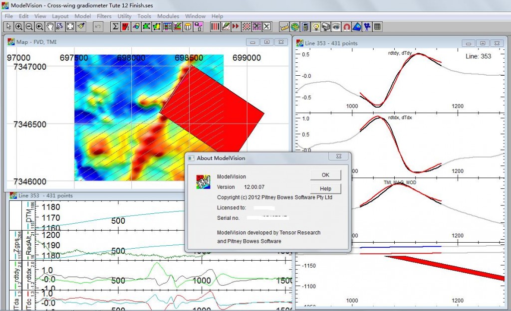
modelvisionModelVisionPro 是澳大利亚EncomTechnology Pty Ltd公司开发的专业重磁软件。适用于矿产资源勘查、油气勘探、环境地球物理等行业,主要解决各行业中重磁数据的处理、正反演模型的建立和重磁解释中碰到的各类问题。主要功能:

*数据处理(化极、延拓、求导、分量变换及各种滤波);

*反演:模型建立、交互式二维、三维反演;

*数据一维(剖面)、二维(等值线、影像和平剖图)和三维(立体模型、反演结果)可视化分析;

*各种图件制作、输出。 此外,针对重磁勘探特点,还配备了一些实用的特色模块:

*基于IGRF的地磁三要素快速查询;

*基于Euler公式的AUTOMAG磁性源体三维反演;*FFT频率域和时间域滤波工具。

ModelVision Pro 是澳大利亚Encom Technology PtyLtd 公司开发的专业重磁软件。适用于矿产资源勘查、油气勘探、环
境地球物理等行业,主要解决各行业中重磁数据的处理、正反演模型的建立和重磁解释中碰到的各类问题。
主要功能:
*数据处理(化极、延拓、求导、分量变换及各种滤波);
*反演:模型建立、交互式二维、三维反演;
*数据一维(剖面)、二维(等值线、影像和平剖图)和三维(立体模型、反演结果)可视化分析;
*各种图件制作、输出。
此外,针对重磁勘探特点,还配备了一些实用的特色模块:
*基于IGRF的地磁三要素快速查询;
*基于Euler 公式的AUTOMAG 磁性源体三维反演;
*FFT 频率域和时间域滤波工具。

目前市面有的重磁软件
1.国内:
中国地质调查局发展研究中心的RGIS2010、
戴世坤老师的GMES(重磁电震综合)、
中国地质大学(武汉)刘天佑老师的MAGS3(GMS3)、
中国地质大学(北京)姚长利老师的Imageo(MASK)、
新疆金维的GeoPIAS2.8、
石油大学刘展老师的GMPS1.0(正反演)、
东方地球物理勘探公司的Geo-GME1.0(集成在GeaEast2.x);
2.国外:
美国Fugro公司下面的LCT公司的LCT2009.3b,
澳大利亚Intrepid Geophysics 公司研制的Intrepid4.2,
英国公司ArKex的Arkfield,
澳大利亚Encom公司的Modelvision 12.0.12,
UBC的Grav3d、Mag3d,
科罗拉多的CGEM,
还有其它的综合性的Oasis Montaj 7.5.1,EMIGMA8.6、Winglink2.2

发表在 其它 | 标签为 , , , | ModelVision 重磁数据处理反演软件已关闭评论

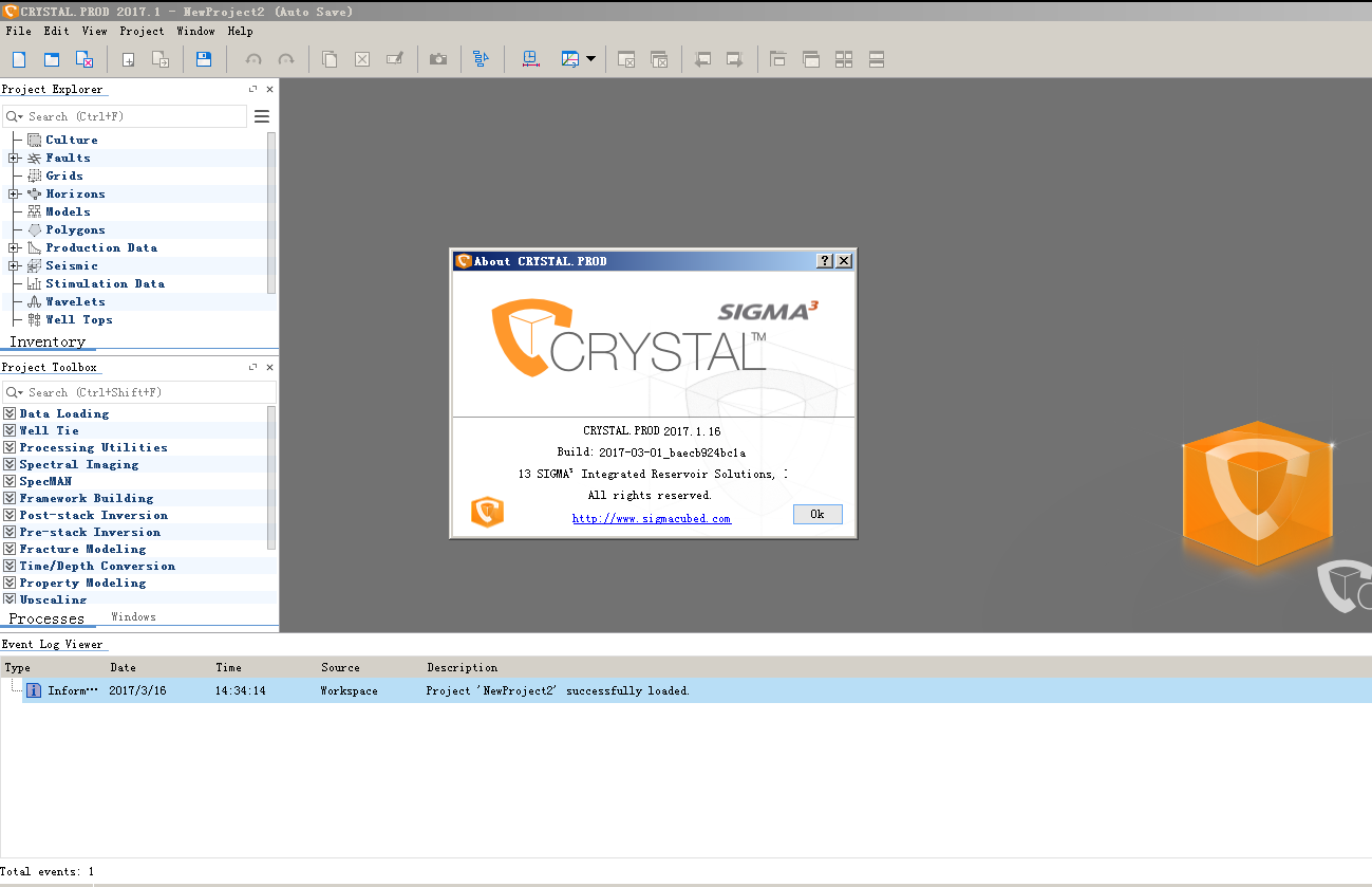
CRYSTAL PROD 2017.1

发表在 地震资料解释软件, 正演反演软件 | 标签为 , , , , | CRYSTAL PROD 2017.1已关闭评论

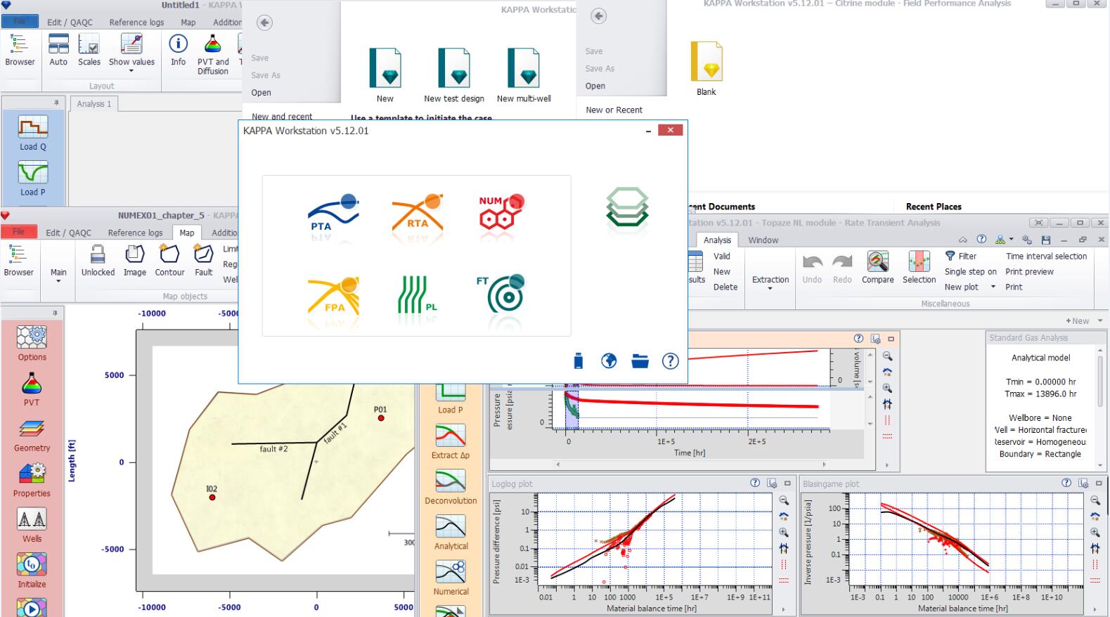
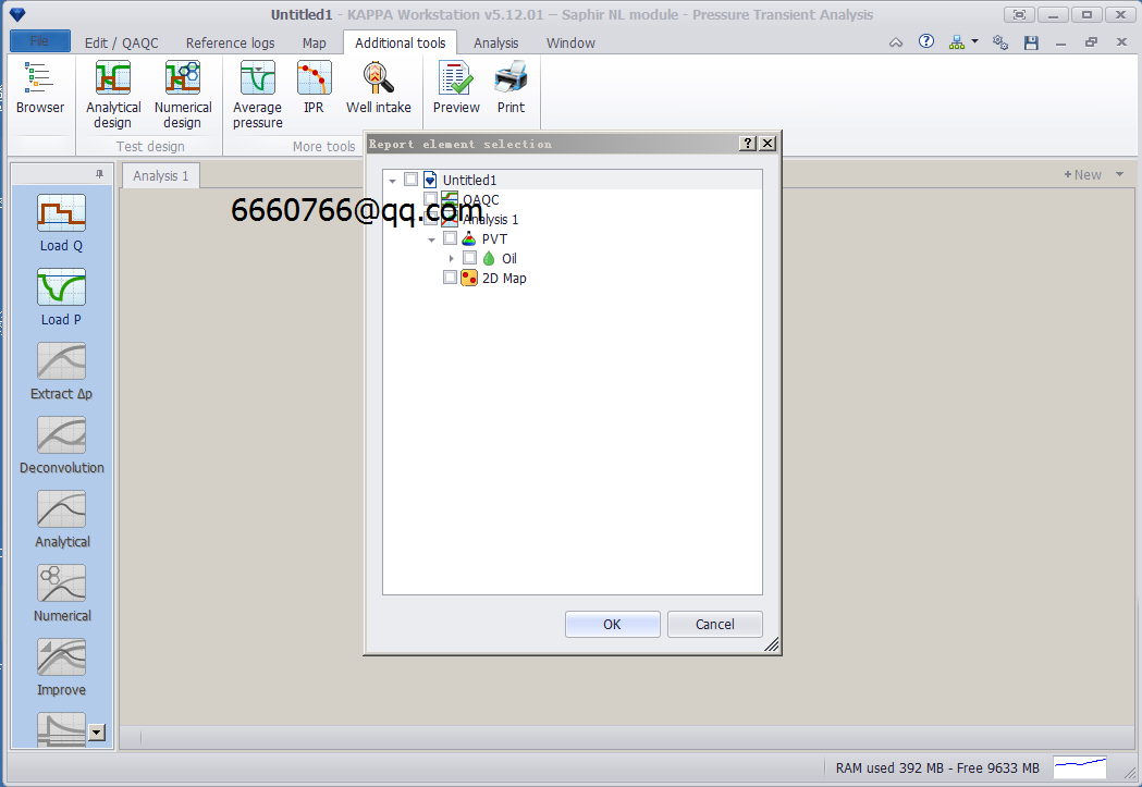
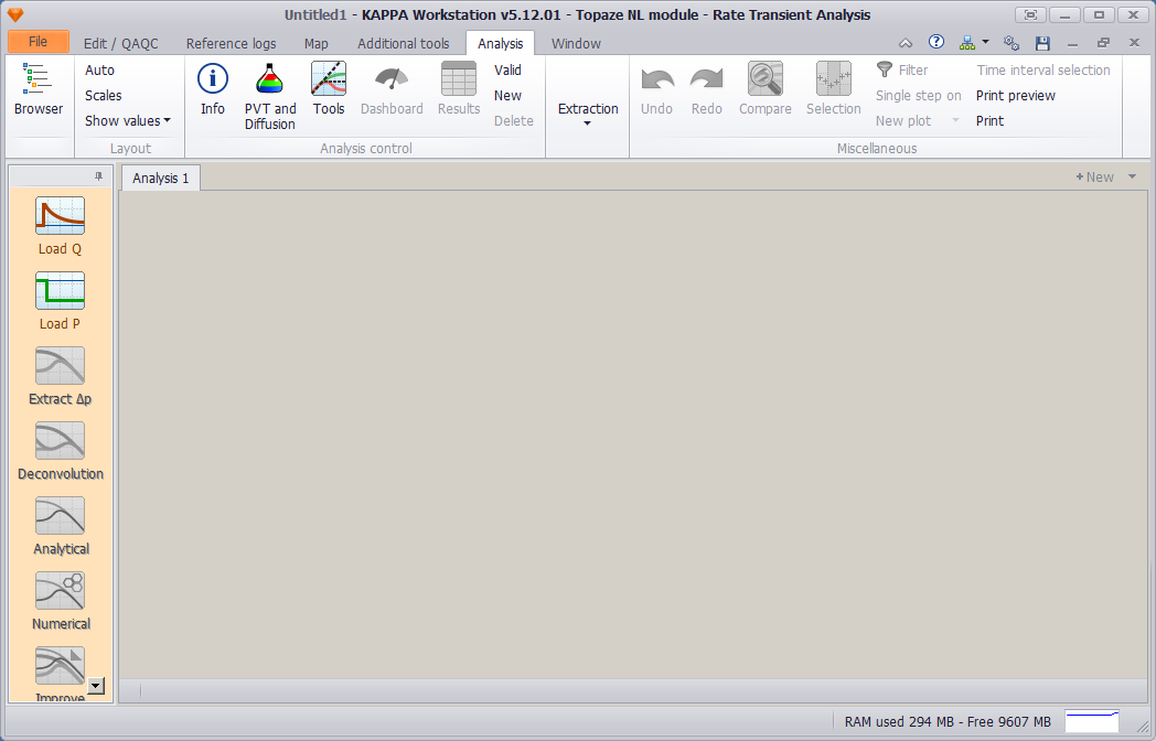
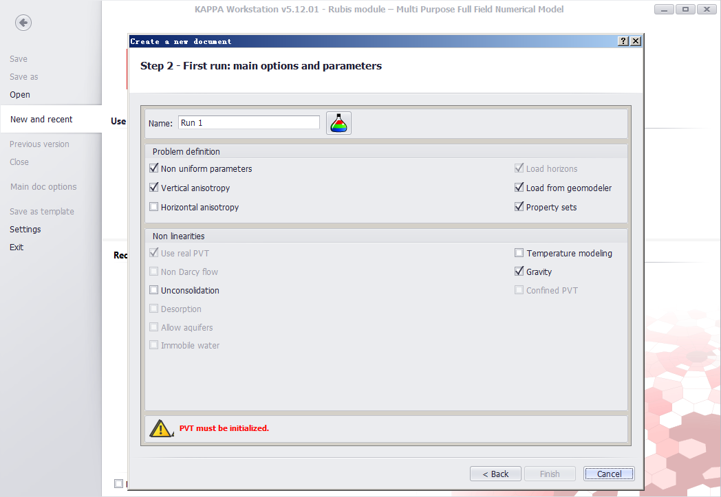
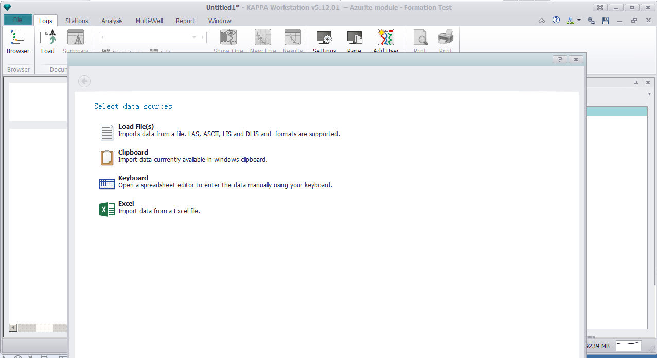
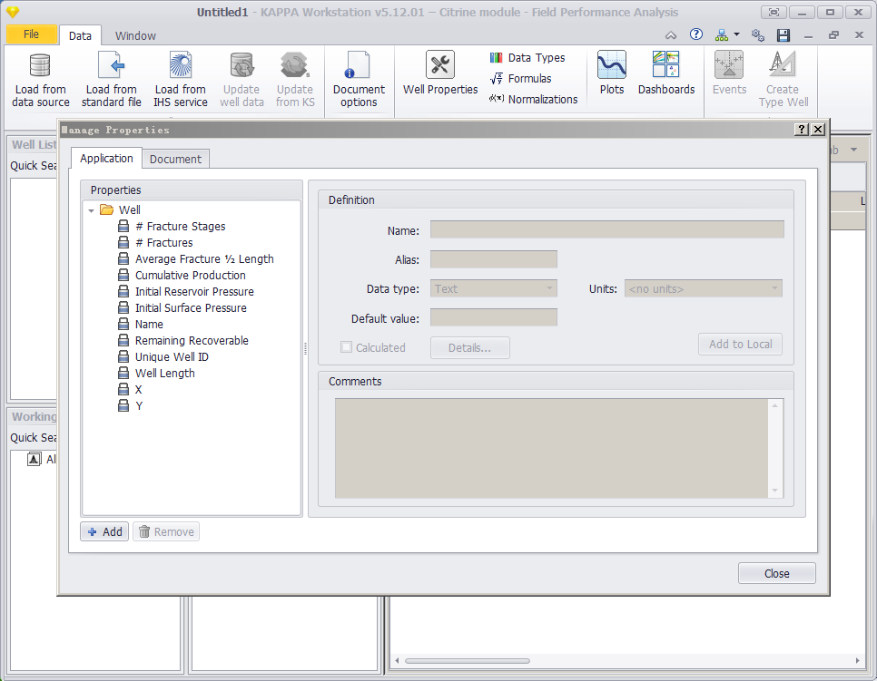
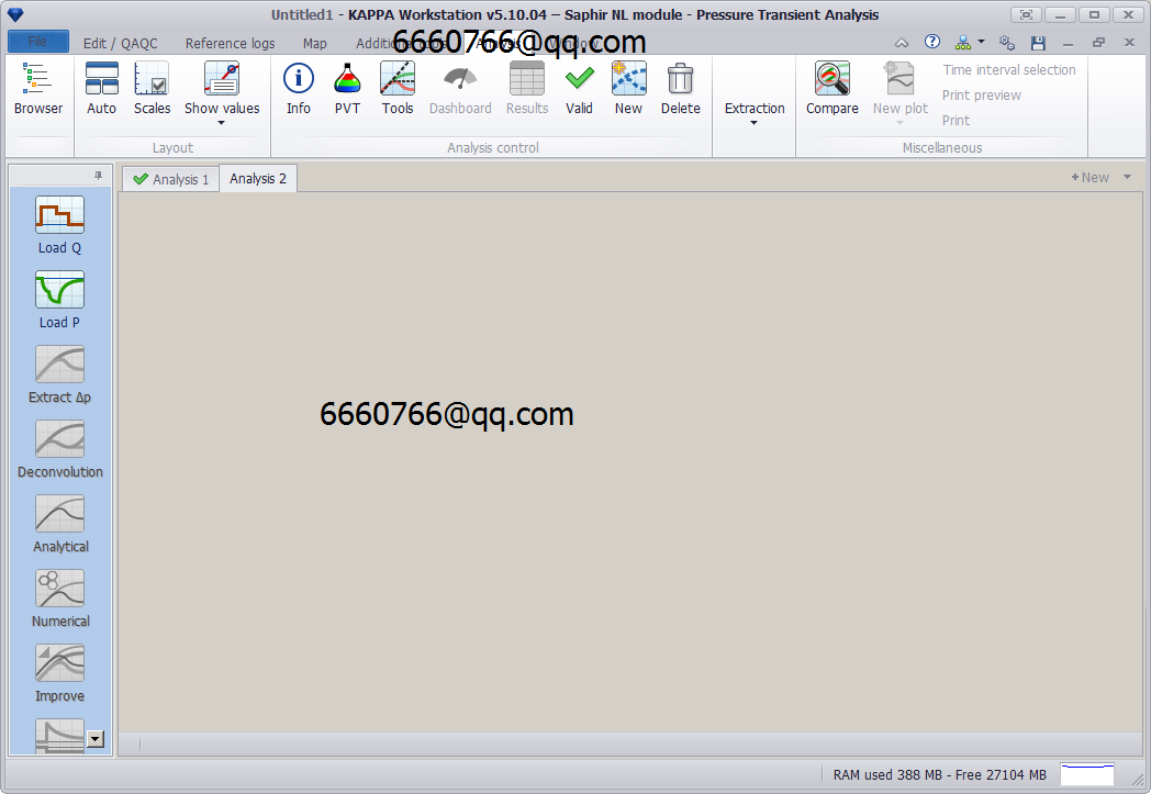
KAPPA Workstation 5.12

KAPPA Workstation 5.12

Saphir 5.12

Topaze 5.12

Rubis 5.12

Azurite 5.12

Citrine 5.12

发表在 采油试井压裂 | 标签为 , , | KAPPA Workstation 5.12已关闭评论

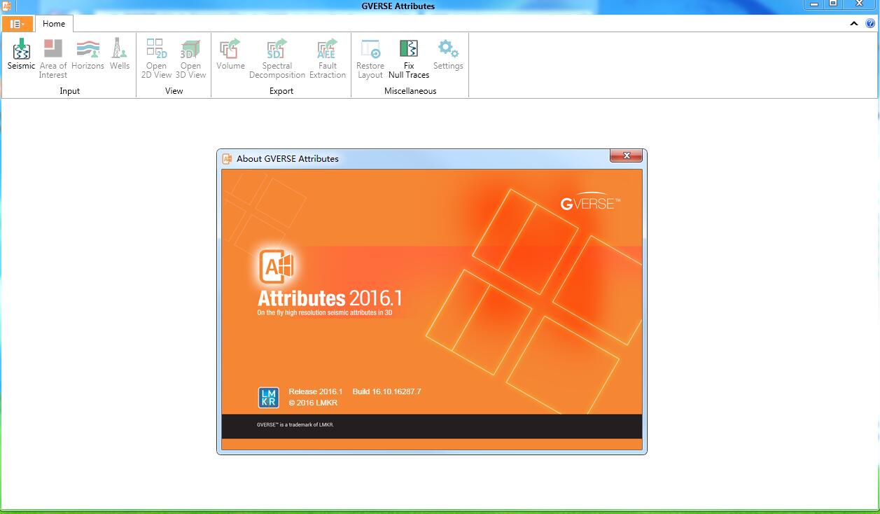
Geographix DISCOVERY GVERSE Attributes 2016.1

Introduction LMKR is pleased to announce the release of the GVERSE™ Attributes™ 2016.1 software.

This document provides an introduction to GVERSE Attributes features and benefits. It also lists the system requirements necessary to install and run the software.
What is GVERSE Attributes?
GVERSE Attributes enables geoscientists to harness the full power of seismic attributes by drastically reducing the time, effort and disk space required for attribute analysis. Fast, on-the-fly computation, and real-time visualization of seismic attributes in a multi-pane viewer, or in an 3D environment, lets interpreters perform detailed, in-depth attribute analysis quickly and efficiently, maximizing the value of their seismic data. GVERSE Attributes is part of the GVERSE application suite by LMKR (http://www.lmkr.com/gverse).
LMKR GVERSE consists of geoscience and engineering solutions focused on workflow optimization and enhancing productivity of teams working on diverse geological and geophysical projects. These applications help cut the processing time required for interpretations resulting in fast, easy to use scalable tools that are inter-operable with other known geoscience software suites; enabling a connected multi skilled workforce.
Main Features
The main features of GVERSE Attributes are as follows:
 On-the-fly computation of attributes for any inline, crossline, timeslice, or for probes, horizons and arblines, using the Graphics Processing Unit (GPU).
 Compare attributes and parameters quickly and efficiently in multiple panes, or in 3D space.
 Compute over 50 physical and geometric attributes, including frequency-tuned attributes using the patented CAPS technique.
 Define mathematical expressions to combine existing attributes and create custom attributes.
 Automatic Fault Extraction attributes to highlight faults.
 Structure Oriented Smoothing to enhance structural features in seismic.
 Change and edit color palettes, view histograms, and assign default color palettes for attributes.
 Co-blending, and RGB blending to visualize multiple attributes simultaneously.
 Generate volumes for selected attributes.
 Loss-less compression of SEG-Y datasets for optimized performance.
 Seamless integration with SeisVision.

Benefits
Using this software, you can compute attributes on-the-fly using the GPU; allowing seismic interpreters to quickly see the results in an integrated viewer for a selected inline, crossline or timeslice and also easily adjust attribute parameters to optimize their results.
 Real-time Visualization of Results: Having intensively minimized processing time, GVERSE Attributes offers an integrated viewer to display attributes for the selected IL/XL/TS computed on-the-fly using GPU. After adjusting attribute parameters and seeing results in real-time, the user can generate the attribute for the entire dataset and load the resulting volume into SeisVision (or an equivalent interpretation software).
 Fast, Powerful 3D Engine: View on-the-fly attributes in 3D to gain deeper insight in your attribute analysis. In addition to computing attributes on inlines, crosslines, and timeslices, the users can view probes, arblines, and horizon surfaces with attributes applied on them in real time to gain useful information faster and more efficiently.
 Reduced Time and Effort for Attribute Analysis: As compared to traditional tools, GVERSE Attributes allows geoscientists to harness the full power of seismic attributes by drastically reducing the time, effort and disk space required for attribute analysis. Attributes are computed on-the-fly on controlled input data to let users view attributes results before they commit to creating volumes, saving both processing and analysis time. Attribute volumes are created on demand, eliminating the need for intermediate volumes and significantly reducing data and disk management.
 Flexibility: Features like the ability to save parameters for all available attributes and saving the complete state of the workspace to a file saves user’s time. This allows users to resume their work from where they left off, and also share their workspace with others. The workspace contains all the information in the application including the input files, any subsets, the view state (all view panels, attributes displayed on those panels, the seismic IL/XL/TS opened, and the parameters for the attributes displayed) along with any other data.
 Seamless integration with GeoGraphix® Discovery: The application integrates seamlessly with GeoGraphix Discovery as it reads seismic amplitude data from SeisVision, and exports generated volumes to SeisVision.

发表在 地震资料解释软件, 正演反演软件 | 标签为 , , , | Geographix DISCOVERY GVERSE Attributes 2016.1已关闭评论

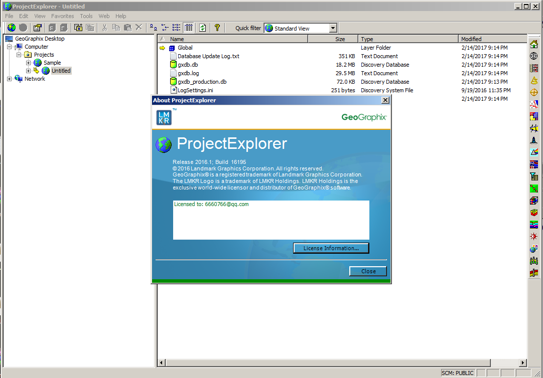
Geographix GeoGraphix discovery 2016.1

LMKR Geographix Discovery 是业界最完整,集成基于Windows的地质和地球物理解释系统。Discovery是理想的更有效的解释水库,支持油田开发和利用成熟的资产。它提供了所有必要的地震,地质和岩石物理解释的工具。在快速QC解释“假设”情景可以在导致更快的周转和更好,更准确的决策资产评估阶段进行。而且,由于资产团队工作的所有成员同时与相同的数据,造成了过期版本的项目冤枉路被淘汰。

Discovery是一个功能强大的基于Windows的地质和地球物理解释系统​​,结合通过一个公共的数据和项目支持建筑行业领先的技术。它使个人或地质学家整个资产球队在一个完全集成的协作环境更高效地工作。Discovery提供了通过降低经营风险,提高资产团队的工作效率,同时保持IT成本在整个公司无可比拟的优点。

GeoGraphix是业内最完整、集成的基于windows的地质与地球物理解释系统具有可以证明的成功的常规和非常规世界项目。 GeoGraphix提供切实可行的解决方案设计的工程师来解决的地质学家&要求今天的勘探与生产项目和使资产团队做出更好的决策recoverables最大化碳氢化合物。
这个版本包括直接反馈从我们的忠诚GeoGraphix用户的请求:
增加工程和地球科学学科之间的集成通过多层次学科集成的工作流;
更快的分析更多数量的井通过3 d可视化其源,地震数据和建模的表面;
更全面的解释产生在一个更短的时间段通过支持额外的数据类型,可以在整个集成套件产品。Landmark GeoGraphix成立于1994年,是一个技术LMKR软件和服务提供商为石油和天然气工业。LMKR的核心竞争力是在石油勘探与生产数据管理创新、咨询服务、软件解决方案和培训。 从一开始,LMKR一直致力于提供高质量的服务。

LMKR提供移动技术解决方案、数据服务、地球科学和数据管理咨询解决方案,石油和天然气运营商,地质学家和投资者为了降低风险,非常规石油和天然气勘探和生产。 客户群包括:跨国公司、国家石油公司,政府部门,独立石油公司勘探与生产,服务企业和咨询公司。
The industry’s most complete and integrated Windows®- based Geology and Geophysical Interpretation System
The Discovery Suite is a powerful Windows®- based geologic and geophysical interpretation system that combines industry-leading technologies supported by a common data and project architecture. It enables an individual geoscientist or the entire asset team to work more efficiently in a fully integrated and collaborative environment. The Discovery Suite provides unparalleled benefits across your company by reducing business risk and increasing asset team productivity while keeping IT costs in check.
The Discovery Suite is ideal for more effectively interpreting reservoirs, supporting field development and exploiting mature assets. It provides all the tools necessary for seismic, geological and petrophysical interpretations. Fast QC interpretations in “what-if” scenarios can be conducted during the asset evaluation phase resulting in faster turnaround and better, more accurate decisions. And, because all members of the asset team work with the same data simultaneously, costly mistakes caused by out-of-date versions of the project are eliminated.
发表在 地震资料解释软件 | 标签为 , , , | Geographix GeoGraphix discovery 2016.1已关闭评论

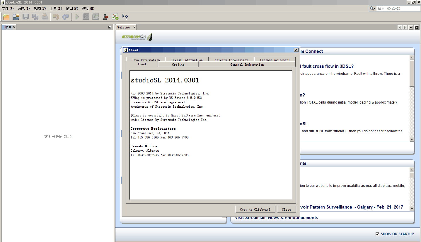
3DSL 2012 2014

3DSL® is Streamsim’s streamline-based reservoir flow simulator that offers a powerful solution to rapidly gain insight into how geology, fluid properties, and wells interact to affect recovery. 3DSL can be run from the command line or through Streamsim’s powerful user interface, studioSL. Unlike more traditional simulation methods, streamlines allow to visualize and quantify the flow between injector/producers pairs, delineate drainage regions of each well, and offer unparalleled speed to investigate multiple production scenarios.

3DSL® Features

Standard features

  • 3-phase flow (oil/water/gas)
  • Fully three-dimensional including gravity
  • Corner point, structural, or strict Cartesian grids with active/inactive blocks
  • Incompressible PVT choices: immiscible or miscible
  • Surveillance mode–tracing of SL’s only; no transport step
  • Dual-porosity
  • Multiple relperm regions w/ relperm scaling
  • Multiple 3-phase relperm models
  • Well control – (historical) surface or reservoir individual phase and total rate constraints
  • Vertical, horizontal, and deviated wells with time dependent recompletions
  • Well rate allocation factors – how much support each injector is giving to each producer
  • Well drainage volumes – reservoir fluid volumes contacted by each well
  • Standard grid and well outputs and output of streamline paths (all viewable during runtime)
  • Simple, keyword-driven input deck
  • 32/64 bit support on Windows and Linux
  • Import velocity field from Eclipse models and then trace SL’s
  • 3DSL® can read/write ECLIPSE formatted files for support within 3rd party software.

Optional Features

  • Compressible PVT option: liveoil
  • Polymer and tracer option
  • Parallel compute option
发表在 数值模拟软件 | 标签为 , , , | 3DSL 2012 2014已关闭评论

WellCAD 测井处理软件

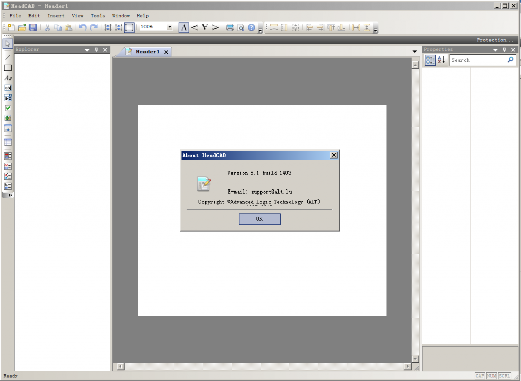
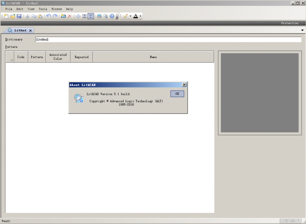
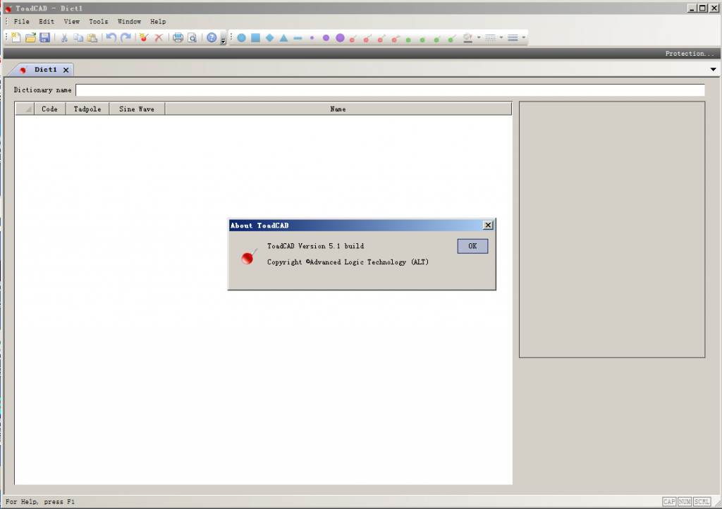
HeadCAD5 LithCAD5 ToadCAD5WellCAD在地球物理工业生产中非常有用的软件。它允许你在单一文档中结合所有的数据。它有很好的显示、编辑并分析数据的能力。使用者可以使用大量的附加模块,软件还提供了一系列的模板、表头、自定义应用模块,当然也可以很轻松的修改现有的模块或者创建自己的模块。

特点:

  • 兼容了超过30种数据格式,如LAS测井数据。
  • 标准的windows窗口界面
  • 多种深度管理模式:
  • 时间、深度、井垂直深度等
  • 软件允许使用者调整数据来校准岩芯的描述
  • 可以自定义添加岩芯物性柱状图
  • 支持二次开发
  • 根据自己的需求添加程序,支持VB、VBS、VBA软件开发

WellCAD is PC based composite log package, which combines comprehensive graphic editing mechanisms and data processing tools.

Combining technically excellent display, editing and analysis capabilities for well data, WellCAD has become the standard log composite software in the Mining, Oil&Gas and Geotechnical society and is used in a wide range of applications.
The basic module incorporates all features and tools necessary to import, edit, process and display your Well data. The software is delivered with a set Templates, Header, Dictionaries customized for specific application. You can of course easily modify existing ones or create you own.

DATA IMPORT/EXPORT
ASCII, CSV, TXT files, ASCII,
Bitmap files (*.bmp, *tif)
Many 3rd party proprietary files – contact support@alt.lu to have the latest updated list
LIS/DLIS (optional)

DATA PRESENTATION
WellCAD handles a wide range of data type from wire line data, core data, images, comments and many more. All data are numerical and can be edited in a separate spread sheet view (tabular editor) Do not hesitate to ask support@alt.lu if you can’ t find the appropriate log type to handle any well data.

DEPTH MANAGEMENT
Multiple depth management (time, depth, TVD)
Advanced depth matching tool

EDITING
Slice, shift, merge, resample, filter curves with results display alongside the original data.

COMPUTATIONS
Formula parser (curve calculator with multiple discriminators)

USER PROGRAMMING/BATCH PROCESSING
Add your own process routine and specialised task using Visual Basic and/or OLE automation.

OUTPUT
Copy/paste to any windows application
Export document as BMP/EMF
Output to any Windows-supported printer
Distribute the document with free WellCAD reader

发表在 钻井测井软件 | 标签为 , , | WellCAD 测井处理软件已关闭评论

Midland Valley Move 2017.1.1

The latest version of Move2017 is Move2017.1.1, released on January 13th 2017.

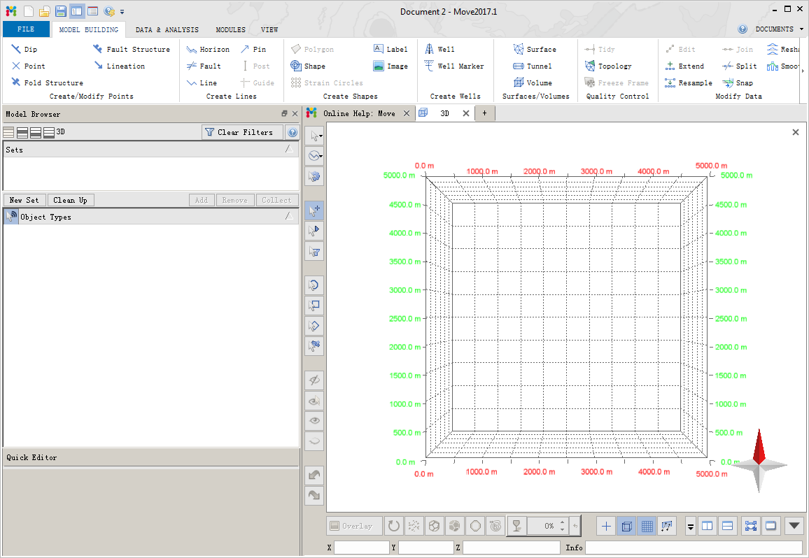
Move2017 sees the launch of a new, sleek, ribbon-style interface, which builds upon the existing tab-style
controls. The introduction of the File tab streamlines the access to some of the most commonly used Move
functionality that was previously found in the menus at the top of the main window. Improvements that the
File tab has brought to Move includes a clearly laid out Recent and Pinned files interface (Figure 2). In this
release, view creation and multi-view handling has been redesigned to incorporate a simpler, yet more
powerful set of controls and options to create and split views, thus making the workspace more flexible and
easier to use.

发表在 地质建模软件, 地震资料解释软件 | 标签为 , , , , , | Midland Valley Move 2017.1.1已关闭评论

prism Interpret 2014

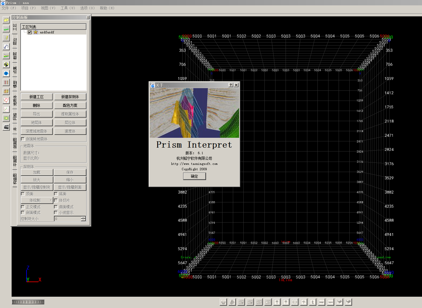
韬宁软件一直致力于三维可视化解释软件的开发和探索,Prism Interpret软件目前正在投入商用阶段,其友好的操作界面和丰富的功能,针对目前传统的三维数据二维解释手法,它采用了全新的理念,并将三维可视化技术实时运用到解释的整个过程,让解释人员可以清楚了解到整个工区每个空间位置的断层、层位如何发育,同时结合三维井震资料,可以清晰判断解释结果是否符合地质综合解释。

发表在 地震资料解释软件 | 标签为 , , | prism Interpret 2014已关闭评论

wellscan 3.5

  • UNIQUE METHODOLOGY and KNOW-HOW capitalization

    A unique turn-key solution coupling Formation/Bit/BHA/Drill string.

    A powerful engineering tool to design optimized BHA using an unmatched fast numerical methodology.

    30 years of capitalized science and field know-how.

  • HIGH-TECH and POWERFUL

    Provide exclusive advanced features, 3D mechanical modelling of all equipment, sensitivity analysis on multiple BHA settings, hole characteristics & operational parameters driven by a fast numerical methodology.

  • FANTASTIC User Interface and TREMEDOUS SUPPORT

    Powerful 3D, automatic report publisher, easy to use and friendly interface. Unmatched support and deep analysis of results provided by experienced drilling engineers.

  • APPLICATIONS & OPERATIONS

    This software can be used for all phases of well construction including:

    • Casing operations
    • Drilling & Completion operations
    • Complex re-entries

    We can provide support:

    • Remotely
    • Client office
    • On rig
    • Real-Time Operating Centers

    Applicable to numerous types of wells including:

    • Conventional and Non-Conventional wells
    • Deep water wells
    • Horizontal wells
    • ERD wells
    • Complex 3D wells
    • Medium & short radius wells
    • HPHT wells
    • Geothermal wells
    • Drilling and Completion community

      • Well construction engineers,
      • Drilling & completion engineers,
      • Superintendent,
      • Drilling managers,
      • Application engineers,
      • Drilling optimization engineers…

Drilling and Completion community

  • Well construction engineers,
  • Drilling & completion engineers,
  • Superintendent,
  • Drilling managers,
  • Application engineers,
  • Drilling optimization engineers…
发表在 钻井测井软件 | 标签为 , , | wellscan 3.5已关闭评论

Geoteric 2016.2

What’s New in GeoTeric 2016.2

GeoTeric 2016.2 brings a number of exciting new features and changes. Click the link above for a full list of whats new in GeoTeric 2016.2.

Getting Started With GeoTeric

GeoTeric is the only complete Cognitive Interpretation system, allowing you to see the geology in your seismic data before interpreting. It provides interactive workflows from data conditioning to the delineation of geological elements required to build a 3D model. The Geological Expression approach allows you to utilise your geological and geophysical expertise to maximum effect, increasing the efficiency and accuracy of your daily work.

Below is a general Workflow to suggest how you might use GeoTeric. Each stage of the workflow has more specific help on the steps and/or processes involved in that stage as well as examples and case studies. Individual cases will vary depending on the aim of your own workflow.

The GeoTeric interface includes operational tools such as Project Setup, Project Management and Visualisation controls, as well as Viewing Options and Tools. If you have downloaded the example project, here is an introduction to what is in a typical project:GT Example Results

There are also a number of additional tutorials and examples available in the section: such as working with Petrel.
There is also an FAQ page with more info on e.g. licensing problems.

See also:
Memory Management : Tips on settings for optimising the processing power of your system.
Accelerated Computing: How to use the GPU to dramatically improve processing/computing time.
The Practical Guide: Workflows giving step by step examples of how to get the most out of GeoTeric’s features.
The Advanced User Guide: more technical details of GeoTeric’s processing.

发表在 地震资料解释软件 | 标签为 , , | Geoteric 2016.2已关闭评论

WellWhiz 3.4


WellWhiz是一款油藏、地质与压裂工程一体化软件,也是帮助石油工程师进行压裂方案优化、压前与压后评估的利器。

WellWhiz使用经典油藏模拟器CMG的IMEX黑油模型作为计算内核,能够有效解决多相流、非达西效应的问题,为石油工程师做方案优化与施工决策提供最佳的指导意见。

WellWhiz可兼容多种石油工程软件,能直接调用Eclipse、Petrel等软件所建立的储藏地质模型和FRACPRO(即FracproPT)、StimPlan、Meyer等压裂软件的模拟结果,用于油、气井产能预测及压后生产过程中储藏压力、剩余油分布等参数变化情况的模拟,还可以用于支撑剂回流的预测及相关控制措施的制定。

WellWhiz的主要功能:

● 能够模拟多种完井方式

● 能够对比不同压裂方案的产能情况

● 压后裂缝导流能力伤害的模拟

● 能够直接由测井曲线导入储藏参数

● 能够直接导入Eclipse、Petrel等软件的地质建模结果

● 能模拟水平井压裂后产能

● 能够模拟缝间干扰、井间干扰对产能的影响

● 能够考虑断层对产能的影响

● 能够考虑非达西流对产能的影响

● 能够预测支撑剂回流情况进而进行相关控制措施的制定

发表在 地质建模软件, 地震资料解释软件 | 标签为 , , , , | WellWhiz 3.4已关闭评论

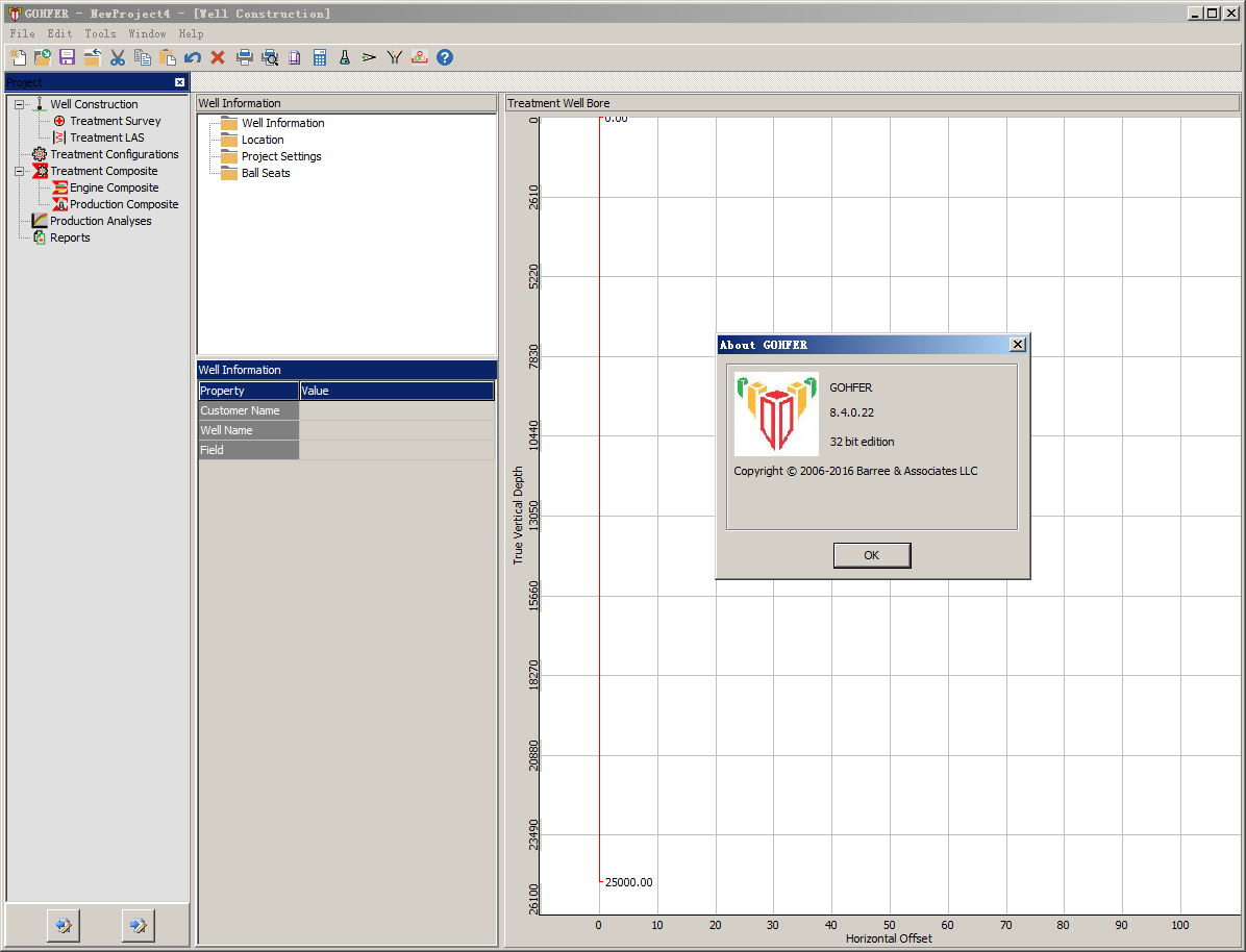
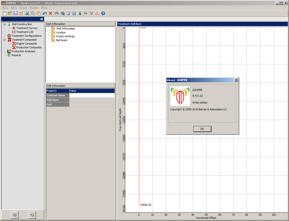
GOHFER 8.4.0

发表在 采油试井压裂 | 标签为 , , , | GOHFER 8.4.0已关闭评论

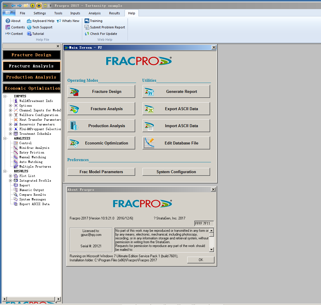
FRACPRO 压裂设计与分析软件

Version 10.9.21

Additions

*  Improved memory management allowing much longer job times / smaller time steps both for multiple and single treatment jobs
*  Saving INP file in Fracpro, now saves results along with the INP file. This allows the user to load the same input file at a later time and see the results without having to re-run the model.
*  Added option in Wellbore Configuration-Perf Interval to enter multiple rows of perforation data by copying the data from Excel. We have also added new screen to set default perforation settings.
*  Added ability to drag reservoir layers in Integrated Fracture Profile’s Horizontal pane to adjust relative depths.
*  Added option to copy Plot’s data to the clipboard in data format so that it can be pasted/viewed easily in other files like Excel easily.
*  Added option to shift log data up/down in Log Layer Editor.
* Added option to model Pulse proppant in Treatment Schedule F6.
*  Major changes to dual entry pumping. All combinations are now allowed (clean fluid / proppant down tubing and/or annulus).
* Automatic creation of user-defined channels from imported formulas in Simple Mode.
* Developed new Injection Mode in Production Analysis with possibility of Water or HC injection.
*  Improvements in DataConvert allowing it to recognize wider range of files and time/date formats.
* The Fracpro\Eclipse & Fracpro\IMEX interface has been upgraded to be able to generate a fully ready-to-run Eclipse deck, for both vertical and horizontal multi-fracture wells.
*  A new tutorial showing how to use the reservoir simulation interface has been created, based on the historic GRI Staged Field Experiment #3 well. The new tutorial includes both the fracture treatment data and the post-frac production data (90 days flowing and 30 days of buildup).

Modifications

* Added Water Saturation to Integrated Fracture Profile’s Layer channel list.
* User can now simple left click and zoom-in on a plot. User can new do left-click and drag on or below the Xaxis to set the X-axis range. This operation will not change the Y-axis settings.
* Set default “Save” directory to user/documents folder.
* User can now change color of a channel by simply double clicking on the color column in Plot Preference dialog.
* Increase the number of decimal points for Porosity in Production Analysis mode.
*  DataConvert now detects units present in second row of the input CSV file.
* Improvements in Frac3D model.
* Added several upgrades to the 3D Reservoir viewer.
* Added a new channel “Btm Prop Total – All Zones” for multiple clusters which is sum of all Btm Prop total, for all the clusters in the treatment.

Fixes

* Fixed the bug which causes deleting fluids in Fluid screen to change fluid list in Treatment Schedule.
* Fixed a bug in Production Analysis mode, which cause incorrect results when user toggles between automatic and manual PVT data entry mode.
* Fixed a crash in User defined channels.
* Number of decimal places for Numeric display template are now correctly stored.
* Offset in Integrated Fracture Profile’s stage pane is now correctly set in Horizontal pane as well.
* WITSML tag totalVolume now has Surface clean total instead of Surface Slurry total.

* DataAcq now remember its size and location when opened as standalone application.
* Fixed TVD-MD mapping for some INP files.
* Added more setting to properties IFP saves and retrieves when reopened.
* In 2D Schematic, Scale now remembers settings for Proppant Conc.
* Fixed a bug which doesn’t allow user to insert channel in ASCII Output screen.
* Fixed a bug with Growth Rings not getting displayed.
* Fixed a bug in DataConvert to let user pick correct time format in case of variable timestamp in multiple input files.
* Fixed Plot refresh bug which causes too many plot refreshes.

FRACPRO 被各油公司、服务公司与咨询公司广泛应用与压裂设计与分析。无论目的层类别、渗透性高低,使用 FRACPRO 软件都可以帮助你获得更好的压裂增产效果。

各种复杂井况的压裂设计与分析

FRACPRO可以有效模拟包括砂岩、页岩、碳酸盐岩及煤层等各种地质条件下的压裂作业,包括限流压裂、泡沫压裂、压裂充填及水平井多段压裂。

水平井压裂设计与分析功能

FRACPRO可以模拟单级或多级水平井压裂的裂缝扩展情况,允许在单一文件中针对不同的泵级创建不同的地质模型和泵注程序。还能实现对水平井多级分簇压裂的模拟与分析。

FRACPRO特点:
● 内置岩石、压裂液与支撑剂数据库
● 实时数据采集与分析
● 各种储藏条件的压裂模拟与分析
● 用于小型压裂分析与DFIT分析

发表在 采油试井压裂 | 标签为 , , | FRACPRO 压裂设计与分析软件已关闭评论

Ecrin 5.10.04

All modules

  • The plot navigator would persist after the source plot was closed.
  • Corrupted user settings could lead to missing accordion folders in the Saphir and Topaze analytical model dialogs.
  • The application would crash is a meaningless value was input in the 3D plot LUT range.
  • Dropped gauges from different wells in QAQC user panes would use default aspects.
  • Some dialogs were too small for Win 7 medium size display settings.
  • Could not open Ecrin files with analysis names containing non-ASCII characters (e.g., Russian, Chinese).
  • Improve option was not available for analytical when the analysis carried a numerical model defined as property sets.
  • Fracture height was not correctly imported for fractured horizontal wells defined in Ecrin.
  • In some situations, unconsolidation properties imported from Ecrin 4 could not be edited.
  • Rate dependent skin and non-Darcy flow options could both be activated, whereas those options are exclusive.
  • An exception was raised when trying to edit EOS pseudo-components defined in Ecrin.
  • Saphir (PTA)
  • The model would disappear from the deconvolution loglog plot after comparing two analysis with deconvolution.
  • Meaningless Tmin, Tmax and Q(sim) values were visible in results.
  • It was not possible to regress on initial pressure when the “Impose Pi” was not checked in the model dialog.
  • Extraction would not open when pressures, then rates had been loaded in QAQC.
  • Minifrac analysis: storage ratio was missing in results.
  • p@dt=0 would not always be correctly computed in time dependent analytical models.
  • Solved various issues in production events editing.
  • Solved issues in time dependent skin analytical models starting at t>0.
  • Vogel IPR rates units were ignored in input table.
  • Append data from KAPPA Server would delete previous models in Saphir.
  • Topaze (RTA)
  • In a duplicated analysis, dragging the model on the Blasingame and Fetkovich plots would impact the source analysis instead of the copied one. The document could furthermore be corrupted after deleting the source analysis.
  • In some situations, deleting pressure gauges used in extraction could potentially corrupt the document and prevent from reading saved files.
  • The automatic model option was enabled in multilayer analyses, and the option lead to a crash of the application.
  • Rubis (NUM)
  • An exception was raised when a sector would be created that contained a well with time dependent skin.
  • Thermal multilayer models would fail when all layers had identical properties.
  • Simulated models could exhibit bumps on pressures during target control switch.
  • The layer rates plot could not be deleted.
  • Improved performances and stability of EOS models.
  • Conditional well constraints was not always correctly imported from Ecrin.
  • Switching to a complex topology would reset all existing property sets to default.
  • Azurite (FTA)
  • Changing reference elevation was sometimes not captured correctly.
  • An exception could be raised when editing tests manually in Stations tab.
  • An exception could be raised after computing rates and performin the automatic test identification.
  • Report reader now correctly shows document information.
  • Corrected probe to probe model.
  • An empty pressure residual track could sometimes be visible.
发表在 采油试井压裂 | 标签为 , , | Ecrin 5.10.04已关闭评论

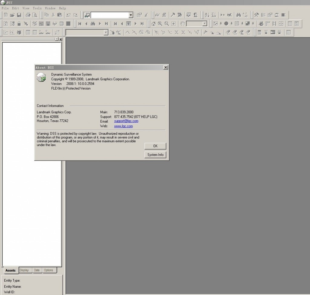
DSS Dynamic Surveillance System 油藏动态模拟软件

DSS2008.1

DSS–动态分析系统:油田生产动态监测分析系统(DSSTM)主要是协助油藏工程师和采油工程师实时动态监测油田目前的生产状况,了解油藏开发历史,预测油藏开发指标。DSS应用动态泡状图、饼状图、等值图、开发曲线图等多种图表显示方式,反映油藏的开采历史和现状。同时DSS还拥有显示井筒、测井和地层数据的剖面显示功能,能够识别井的完井和构造的关系。DSS通过ODBC与企业数据库,如Microsoft Access、SQL Server、Oracle以及Sybase数据库相连接。实现数据的方便输入与及时更新。
DSS软件特点:
DSS可以与Landmark其他产品实现内部的数据共享。而且可以与任何ODBC数据库,如Microsoft Access、SQL Server、Oracle以及Sybase直接连接,从而减少了数据的重复,保证了数据的一致性。
灵活多样的动态生产图表显示,有助于了解油田的全面生产情况。大大简化了动态分析过程。
动态图的动画显示功能,更加容易发现异常油藏动态,为油田的方案调整提供依据。
通过单井、井组生产曲线图可以进行生产动态分析,同时可进行不同井组之间的开发效果对比。
简单实用的产量递减分析,预测未来的生产情况。
通过用户自定义公式、宏功能,可以实现多种常规动态分析,如衰减曲线分析、水驱曲线、泄油半径以及井组注采平衡分析等。
DSS拥有的显示井筒、测井和地层数据等剖面功能,能够识别井的完井状况和地质条件之间的关系,有助于确定完井方式、油水关系与油井产能的关系。

发表在 数值模拟软件 | 标签为 , , , | DSS Dynamic Surveillance System 油藏动态模拟软件已关闭评论

sendra 岩心数值模拟软件

发表在 数值模拟软件 | 标签为 , , , | sendra 岩心数值模拟软件已关闭评论

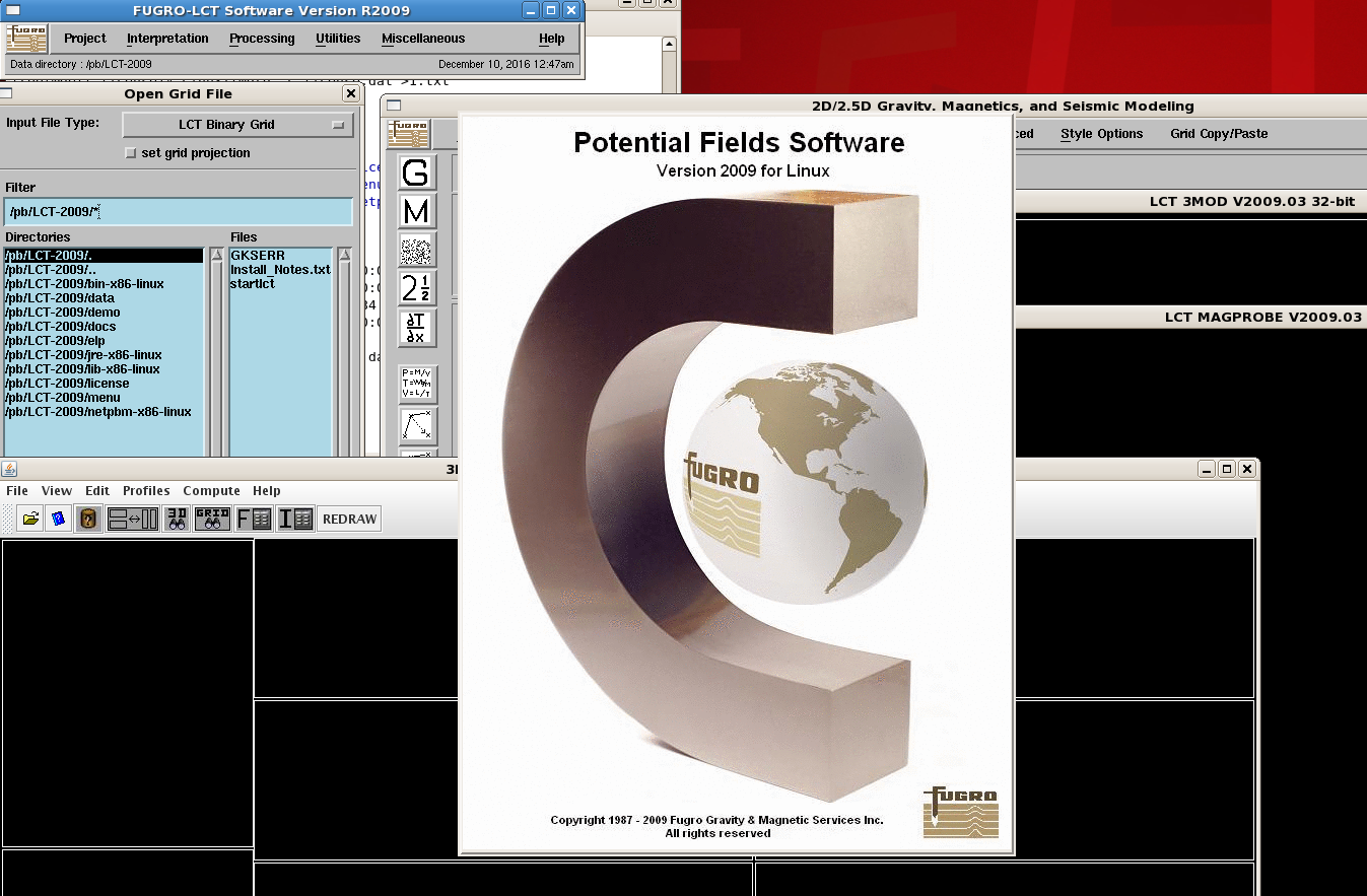
LCT 重磁震联合处理解释软件

LCT软件功能及特点
?数据处理、解释、模拟及数据管理
?与地震处理解释系统交互整合;
?动态进行重力/磁力/地震数据交互解释
?运行平台:Unix 、Linux
LCT应用
n盆地沉积规模及厚度研究
n大陆及洋壳边界热流研究
n火山岩研究
n地质研究和地震资料处理过程中速度假设是否合理
n地震解释是否合理
n优化地震观测系统设计
?LCT模块

?G&M data processing
? DATAPRO, GRDPRO, GRDEDT, MINCRV, TERCAL
??G&M data interpretation
? ANSEP, CALGRD, GRDFFT
??2-D integrated G&M/seismic modeling
? MAK2MOD, 2MOD, LCTSEIS
??3-D integrated G&M/seismic modeling
? MAK3MOD, 3MOD, S3MOD, LCTSEIS-3D
??Magnetic depth estimates
? 3DEULER, MAGPROBE
??Visualization and mapping
? CONTUR, MAGIC MAPPER, LIGHTTABLE, MAPSETUP
发表在 其它, 地震资料解释软件 | 标签为 , , , | LCT 重磁震联合处理解释软件已关闭评论

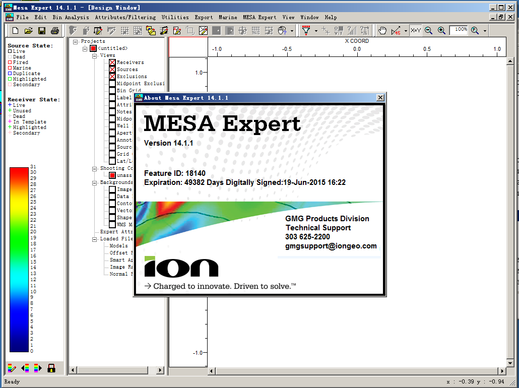
mesa 14.1

mesa14.1_good

Version 14.1 Enhancements and Fixes

1. Three new source and receiver attribute types have been added: Boolean, String, and DateTime. Boolean attributes can store TRUE/FALSE information. String attributes can store a variety of text information. DateTime attributes work much like existing Data attributes, however, an HH:MM:SS time stamp is now available for tracking information at finer intervals than is possible with Date attributes. These new attribute types can be used to extend the functionality of MESA beyond just the survey design stage of an acquisition project. For example, with String attributes, a user can import the shooter’s logs or the driller’s logs to integrate support data into the project. In this scenario, MESA can be used as a geometry QC tool and as an acquisition tracking tool.

2. The filter tools have been enhanced to use the new attribute types. String attributes filters have a wildcard character (%) to use as part of the filter condition.

3. Synthetic traces can now be generated for normal and image rays. Normal ray synthetics simulate stacked CDP gathers. Image ray synthetics simulate time migrated CDP gathers. These synthetic gathers are available for inline bin lines, crossline bin lines and rectangular bin regions.

4. Sources and receivers can now be filtered based on line index, record index, and line name.

5. The Blue Marble map projection libraries have been updated to version 7.1. This is a significant functional upgrade for datum shift selection and custom map projections.

6. Fixed an issue with the dialog box for deriving attributes from GeoTIFF files. If you did not wish to derive either source or receiver attributes from the GeoTIFF, selecting “None” was not working as intended.

7. Fixed a problem loading TIFF files due to capitalization of the file suffix.

8. Fixed an incorrect message in the status bar after recalculating exclusion zone effects.

9. Fixed an issue with the color scale range when displaying GeoTIFF files.

10. Unit template repeat and shooting parameters are now saved properly in the defaults file.

11. Fixed an issue reading polygons from DXF files.

12. The spreadsheet Fill function will now fill blanks with non-zero values.

13. Fixed a problem inadvertently deleting incorrect receivers after performing an Undo of an add-to-line edit.

14. Fixed a window resizing problem with the label shooting window.

15. The multi-file import function was failing if any of the files was terminated with a blank line.

16. The fold calculation speed has been improved for marine surveys created by importing P190 files.

17. The survey map view display in Model Builder was extremely slow to update when the survey had a large number of sources and receivers. This has been fixed.

18. Fixed a problem importing double precision data containing decimals and then shifting the position of the decimal point during setup.

19. Fixed an alphanumeric line number formatting problem exporting survey statistics.

20. Fixed a crash during printing if a project doesn’t have a shooting configuration.

21. Fixed an issue retrieving the default pixel size when printing to a filed.

22. Fixed a problem with the alternative coordinate import dropping decimal digits.

23. Fixed a problem with the height of the color scale in the legend when toggling between bin attribute data and attribute data with filters applied.

24. Added a warning when custom projections are removed.

25. Fixed a problem with the calendar control when entering date attributes in the spreadsheet.

26. Fixed a bug with the height of the color scale in the legend pane when switching between filtered attribute and bin attribute displays.

27. Changed the behavior of extracting attributes from GeoTIFF files to give more options for overwriting existing values in the database.
发表在 地震资料采集 | 标签为 , , , | mesa 14.1已关闭评论