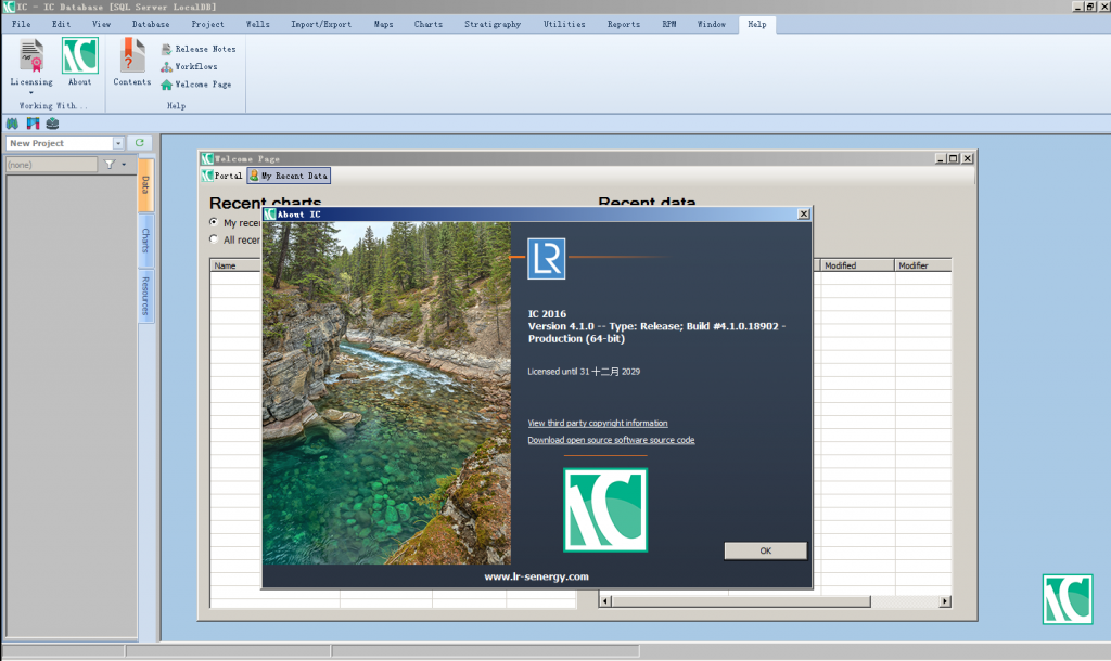
64-bit Application
пӮ· IC is now a 64-bit application which offers improved performance and greater memory.
пӮ· Being 64-bit application allows IC to handle large databases and images more effectively.В Phasing out Microsoft Access database support
пӮ· Microsoft Access databases are not fully supported in 64-bit applications so it will be replaced byВ SQL Server LocalDB.
пӮ· LocalDB is a single file database which has the same functionality as MS Access but has theВ benefit of improved performance.
пӮ· Existing Access databases can still be opened but in 32-bit mode only.
пӮ· Existing Access databases can be upgraded, cloned and imported as in previous versions.
пӮ· MS Access databases will be phased out in IC 2017 and fully replaced by SQL Server LocalDB.В В (See “Converting Access to SQL Server LocalDB.pdf” for further details.)
Faulting
пӮ· 3D Depth based fault sticks picked from seismic data can now be imported into IC to improveВ structural visualisation capability.
пӮ· Faults can be displayed on maps as an outline polygon view, a 2D structural view or a gradientbased display.
пӮ· Faults can also be displayed and edited in cross sections and 3D Viewer to help the conceptualВ understanding of the subsurface.
пӮ· Both multiple faults and individual faults can now be imported directly from Petrel.
пӮ· Import and export of faults from other applications is also possible as ASCII files (with customВ fault format definitions); IRAP Classic files, PolyLineZ format shapefiles, and Z-map files formatsВ are all now supported.В В (See “Release Note – 4.1.00 вҖ“ Faulting.pdf” release note for further details.)
Gridding/Surfaces
пӮ· A number of improvements and modifications have been made to the calculation and display ofВ surfaces within IC.
пӮ· Previously referred to as grids, the existing surfaces can now be resized directly from a map andВ any changes to range or display can now be applied with just one click.
пӮ· More powerful gridding methods are also available which allows pre-modelling data interrogationВ and analysis to be performed in IC, without the need to export into Petrel or other softwareВ packages.
пӮ· Industry Standard methods including Kriging estimator, Quadratic Shepard and MinimumВ Curvature have been added to the existing range of gridding algorithms to aid the overallВ understanding of the subsurface.
Map Toolbox
пӮ· The Map toolbox has been created to allow continuous updates of the map display, using aВ dockable updated tool. The map toolbox combines the properties from the old Map Manager andВ Map Properties.В (See вҖңMap Toolbox.pdfвҖқ and Help documentation for further details)
Enhanced Exporting
пӮ· Export tools has been added to support some of the more common export formats requiredВ including flat file (CSV, TSV), Excel spreadsheet and GIS compatible formats (SHP, KML andВ GeoJson).В В These can be exported from reports, well browser and the well book builder.В В (See вҖңRelease Note – 4.1.00 – Additional Data Export Formats.pdfвҖқ and Help documentation forВ further details)


