The DecisionSpaceВ® Geosciences application is a unified visualization, interpretation, and modeling workspace where asset teams can collaborate more effectively to evaluate and develop assets. It delivers a true multi-user environment with unprecedented integration across multi-domain workflows and data typesвҖ”all on the award winning, data management foundation of Landmark OpenWorksВ®вҖ”that enables asset teams to better understand and utilize geoscience data.
The unified visualization environment and enterprise-scalable data management enable asset teams to use their collective expertise to more quickly evaluate large data sets for hydrocarbon potential, more thoroughly understand uncertainty, better quantify risk at the basin or reservoir scale, and improve production through refined reservoir models and effective well plans.
DecisionSpaceВ® Geosciences workflows can lead to better technical and business decisions in less time, and can lower Finding and Development costs in the face of smaller, deeper, more complex reservoirs and unconventional resource challenges.
DecisionSpaceВ® Geosciences Application Overview
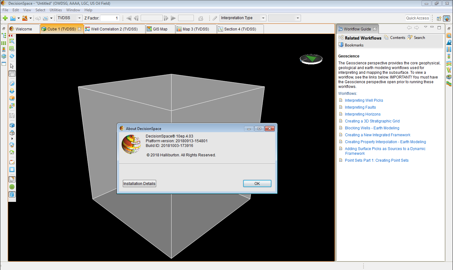
This software provides a user-friendly interface from which to work. Across the various modules associated with different Perspectives, the workspace provides common, flexible 1D, 2D, and 3D views to support standard workflowsвҖ“seismic, logs, maps, cross sections, cubes, and more.
вҖў1D (section and well Correlation editors)
вҖў2D (map and cross section)
вҖў3D (cube)
вҖў2D and 3D Seismic and GeoProbe volumes
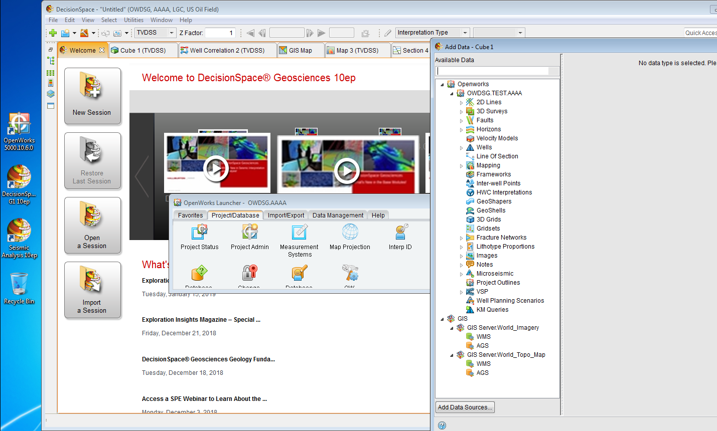
Data can be loaded into the OpenWorksВ® database via that software’s interface and can also be loaded through DecisionSpaceВ® modules. This data, and all interpretations associated with it, can be shared across teams and groups. Data interpretation occurs across all modules with the optics flowing from horizon and fault interpretation through to flow simulation at the reservoir level. The analysis scale is from wellbore to basin.
Additionally, a local database can be established, along with a local license, that allows you to work in the field independent of a corporate network.
Each Perspective, or module/selection of modules, is geared towards a scientific or engineering domain, for example Geology, Geophysics, and Well Planning to name a few.