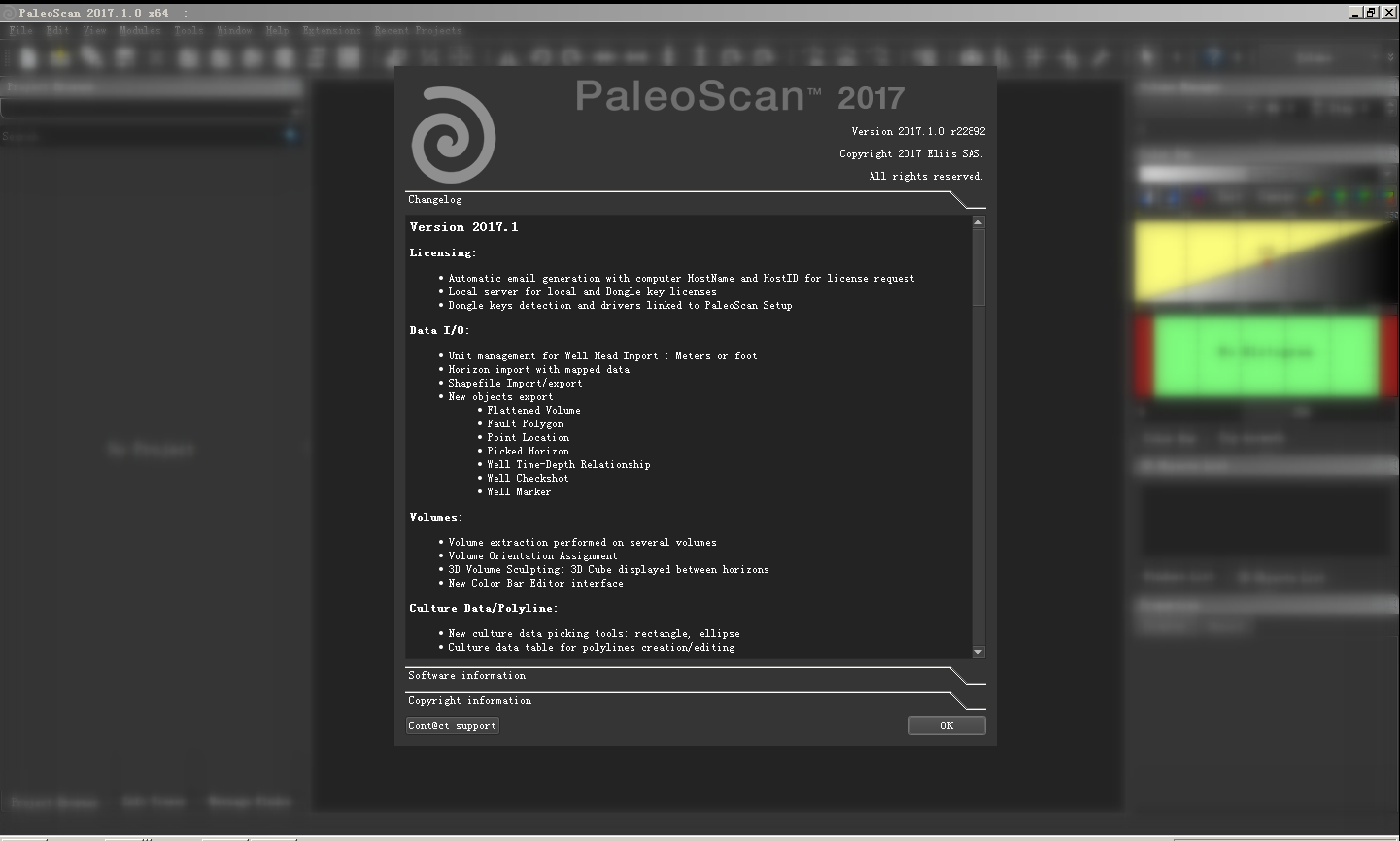
Version 2017.1
Licensing:
Automatic email generation with computer HostName and HostID for license request
Local server for local and Dongle key licenses
Dongle keys detection and drivers linked to PaleoScan Setup
Data I/O:
Unit management for Well Head Import : Meters or foot
Horizon import with mapped data
Shapefile Import/export
New objects export
Flattened Volume
Fault Polygon
Point Location
Picked Horizon
Well Time-Depth Relationship
Well Checkshot
Well Marker
Volumes:
Volume extraction performed on several volumes
Volume Orientation Assignment
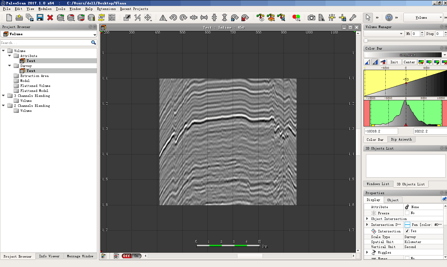
3D Volume Sculpting: 3D Cube displayed between horizons
New Color Bar Editor interface
Culture Data/Polyline:
New culture data picking tools: rectangle, ellipse
Culture data table for polylines creation/editing
Attributes:
New attribute computation interface
New Attributes:
Maximun
Minimun
Mean
Sum of the Negative Amplitudes
Sum of the Positive Amplitude
Local structural azimuth
New interactive Spectral Decomposition tool
Spectral Decomposition available as real-time attribute
New thickness parameters available for the isochore attribute computation
Faults used as input of the Truncation 3D attribute
Soothing volume tool using faults as constraints
Frequency filtering: Area of Interest for the amplitude spectrum computation
Spectral Blueing: Area of Interest for the amplitude spectrum computation
Coloured Inversion
Coloured Inversion part of the core application license
Area of Interest for the amplitude spectrum computation
Low frequency model parameters available for the AI volume as input
Viewers:
Blending Viewers
New blending interface for Volumes and Horizon Stacks
Arbitrary line blending viewer
Horizon 2 channels blending viewer
Init All option to initialize contrast of all the channels
3D viewer
Automatic rotation option
2D/3D Synchronization
Color Scale display in the 3D view related to selected objects
Capability to change the cursor size
New way to zoom-in and zoom-out: Alt + Mouse wheel
Remove the saved rotation and stretching available from the general toolbar
Wiggles display on single trace using the cross navigation position
Model-Grid:
New Thickness optimization option for Model-Grid and 3D Geo-Model computations
New shortcut to show or hide marked horizons: X
Update of model-grid horizon listing
New workflow to constrain the Model-Grid with marked horizon(s) based on the Thickness analysis and polarity consistency
Horizon Stacks creation while computing the 3D Geo-Model
Possibility to Interpolate an existing 3D Geo-Model using faults as constraints
Possibility to smooth an existing 3D Geo-Model using faults as constraints
3D Model computation with iso-proportional method
Horizon Stack / Horizon:
Real time preview of horizons intersection in the horizon stack creation tool
Auto Contouring: Possibility to display the contouring for each horizon of a horizon stack
High contouring density
Horizon contouring display between specific min and max values
Double click to open a horizon from project browser in map view
Horizon polarity histogram available in map view
Update of the horizon snapping interface
Geobody -Layer:
Lithology property can be customized and assigned to layer object
Geobody table classification with area and volume information
Merge/Split Geobodies option available from the Geobody Manual module
Advanced Interpretation:
Update of the Horizon Stack creation tool from strati
Horizon stacks creation with horizons defined by layer
Real time preview of horizons intersection in the horizon stack creation tool
Absolute Geological Time Model
Watertight Model:
Watertight model creation from picked stratigraphic sequences
Horizon extraction from watertight model
Faults extraction from watertight model
Fault polygons creation from selected horizons and faults of watertight model
Allan diagram display thanks to the watertight model
Well/Log Management:
Time-depth relationship can be assigned from a well to others
Management of markers with multi values
Well markers picking tool
Capability to organize wells and markers in folders
Possibility to change the size of the well head display
Composite Logs creation from P-sonic, S-Sonic and density:
Acoustic Impedance
Elastic Impedance
Shear Impedance
P-Velocity
S-Velocity
Vp/Vs ratio
Bulk Modulus
Lame constant
Shear Modulus
Lamda*Rho
Mu*Rho
Log Viewer: New properties for log areas
Log Viewer: New option to Display All Log Areas in 3D
Seismic Well-Tie:
New analytic wavelet type: Morlet wavelet
statistical wavelet computation using the full volume
Management of Impedance log as input of the Well Tie process
Velocity Modeling:
Velocity model computation based on velocity assigned to layers of stratigraphic sequence
Real time depth conversion applied on strati viewer by defining velocity for each sequence
Cross Plot:
Cross Plot computation from 2 channels blending viewer for:
Volumes
Arbitrary Lines
Horizons
Horizon Stacks
Cross Plot computation from 3 channels blending viewer for:
Volumes
Arbitrary Lines
Horizons
Horizon Stacks
Class can be selected and edited from the cross plot viewer according to the input data
Geobody and volume generation from class selection
Previous Version – Main upgrades
Style picker, icon size option and introduction of themes: light, dark and vista
Calculator: functions and formulas for volumes, horizons and logs
Unit management for exports : SEG-Y, horizons, faults, geobodies, layers
New Seismic 3D Cube Visualization in the 3D viewer
New frequency decomposition interface
Model-Grid interpretation along arbitrary lines
Stratigraphic interpretation along arbitrary lines
Lithology symbol management for strati sequences
New propagation methods: Kriging and Cokriging
Global QC: Synthetic model preview using Geo-model
Depth conversion in real time using a velocity model