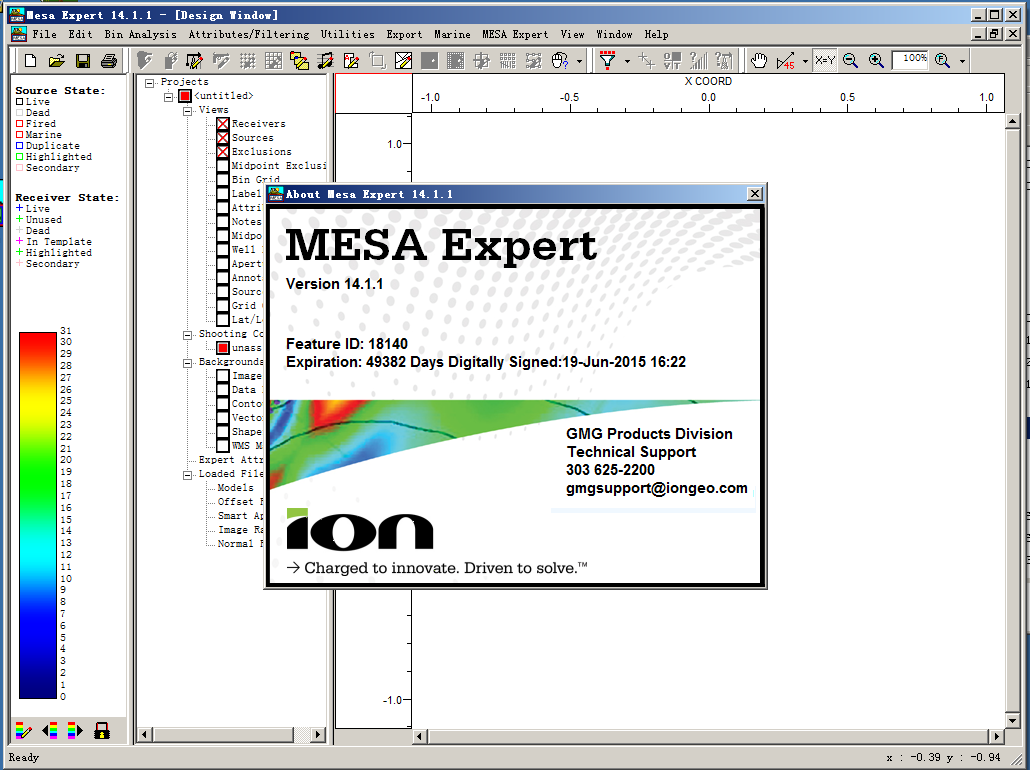
Version 14.1 Enhancements and Fixes
1. Three new source and receiver attribute types have been added: Boolean, String, and DateTime. Boolean attributes can store TRUE/FALSE information. String attributes can store a variety of text information. DateTime attributes work much like existing Data attributes, however, an HH:MM:SS time stamp is now available for tracking information at finer intervals than is possible with Date attributes. These new attribute types can be used to extend the functionality of MESA beyond just the survey design stage of an acquisition project. For example, with String attributes, a user can import the shooter’s logs or the driller’s logs to integrate support data into the project. In this scenario, MESA can be used as a geometry QC tool and as an acquisition tracking tool.
2. The filter tools have been enhanced to use the new attribute types. String attributes filters have a wildcard character (%) to use as part of the filter condition.
3. Synthetic traces can now be generated for normal and image rays. Normal ray synthetics simulate stacked CDP gathers. Image ray synthetics simulate time migrated CDP gathers. These synthetic gathers are available for inline bin lines, crossline bin lines and rectangular bin regions.
4. Sources and receivers can now be filtered based on line index, record index, and line name.
5. The Blue Marble map projection libraries have been updated to version 7.1. This is a significant functional upgrade for datum shift selection and custom map projections.
6. Fixed an issue with the dialog box for deriving attributes from GeoTIFF files. If you did not wish to derive either source or receiver attributes from the GeoTIFF, selecting “None” was not working as intended.
7. Fixed a problem loading TIFF files due to capitalization of the file suffix.
8. Fixed an incorrect message in the status bar after recalculating exclusion zone effects.
9. Fixed an issue with the color scale range when displaying GeoTIFF files.
10. Unit template repeat and shooting parameters are now saved properly in the defaults file.
11. Fixed an issue reading polygons from DXF files.
12. The spreadsheet Fill function will now fill blanks with non-zero values.
13. Fixed a problem inadvertently deleting incorrect receivers after performing an Undo of an add-to-line edit.
14. Fixed a window resizing problem with the label shooting window.
15. The multi-file import function was failing if any of the files was terminated with a blank line.
16. The fold calculation speed has been improved for marine surveys created by importing P190 files.
17. The survey map view display in Model Builder was extremely slow to update when the survey had a large number of sources and receivers. This has been fixed.
18. Fixed a problem importing double precision data containing decimals and then shifting the position of the decimal point during setup.
19. Fixed an alphanumeric line number formatting problem exporting survey statistics.
20. Fixed a crash during printing if a project doesn’t have a shooting configuration.
21. Fixed an issue retrieving the default pixel size when printing to a filed.
22. Fixed a problem with the alternative coordinate import dropping decimal digits.
23. Fixed a problem with the height of the color scale in the legend when toggling between bin attribute data and attribute data with filters applied.
24. Added a warning when custom projections are removed.
25. Fixed a problem with the calendar control when entering date attributes in the spreadsheet.
26. Fixed a bug with the height of the color scale in the legend pane when switching between filtered attribute and bin attribute displays.
27. Changed the behavior of extracting attributes from GeoTIFF files to give more options for overwriting existing values in the database.

